Why "BUCKETS AND MONKEYS"?
Because from here on out, I get to work on my Bucket List because I've got the Monkey off my back!

REMEMBER:

If you are viewing this on your phone and do not see 2 columns then scroll left/right or switch to webpage or computer view.

Articles appear in the following order: top--newest to bottom--oldest
When you reach the bottom of the page click "Older Pages" to see more.
Showing posts with label Tennessee. Show all posts

Tuesday, June 27, 2017

Day 12 The Wilderness Road & Cumberland Gap.

Broke camp and started by driving through the mountain (The Cumberland Gap Tunnel) from Virginia to Tennessee. Then drove up to Pinnacle Overlook. While it is not nearly as high (2440 ft.) as Clingsman Dome or Mount Mitchel it has its own unique spectacular view. Perched above the town of Cumberland Gap, Tennessee you can see the town, the roadway going into the Cumberland Tunnel, and mountain line that divides the mountain between Virginia and Kentucky… an aerial view from one state of three states.

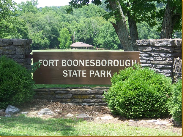
Once I came down from Pinnacle Overlook I preceded on the Wilderness Road north to where Col. Henderson, Col. Luttrell, and Daniel Boone founded Fort Boonseborough, near present day Lexington, Kentucky.

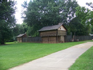
Fort Boonesborough (2)Fort Boonesborough (7)Fort Boonesborough (10)Fort Boonesborough (10)crpdFort Boonesborough (12)Fort Boonesborough (13)Fort Boonesborough (17)Fort Boonesborough (18)

Fort Boonesborough (5)

click here fro pictures and history from previous visit to Ft. Boonesborough

click here for more on Thomas Luttrell

click here for more on Col. John Luttrell

click here for more on Col. John Luttrell

NEXT ROAD TRIP STOP

Day 11: The Wilderness Road (part 2)

After visiting Sycamore Shoals and Elizabethton I drove north to Bristol Tennessee to begin the 1st portion of the Wilderness Road. Upon leaving Bristol you are quickly in Virginia heading west towards the Cumberland Gap. The first portion of the Wilderness Road takes you through Virginia to the Cumberland Gap at the junction of the Tennessee, Kentucky, and Virginia state lines.

Screenshot_20170716-153839

I made it to the Cumberland Gap National Historical Park (VA), and spent the night at the Cumberland Gap Wilderness Road Campground. The next morning I would start the drive through the Gap and on to the end of the Wilderness road at Fort Boonesborough near Lexington Kentucky.

NEXT STOP ON THE ROAD TRIP

Monday, June 26, 2017

Day 11: The Wilderness Road (part 1)

I left Johnston City, TN., with a full agenda for the day:

  • Visit Elizabethton, TN., and Sycamore Shoals State Park
  • Begin my drive of the Wilderness Road
  • traverse the Cumberland Gap.sday11

The three goals tie into my family history and ancestors (Littrell-Luttrell) .

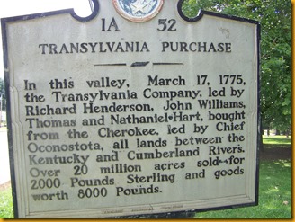
The first connection: has to do with the Transylvania Company headed by Richard Henderson. The company, formed by Henderson was made up of Henderson and eight other partners. Associates of Judge Henderson from his days as a Judge in North Carolina. One of these partners was an indirect ancestor of my family line, a GGG++Uncle, John Luttrell.

John Luttrell, one of 8 partners with Richard Henderson, hired Daniel Boone to establish the
Wilderness Trail from Virginia to central Kentucky.
John Luttrell was at the Treaty of Sycamore Shoals and later, with Richard Henderson, joined Daniel Boone at the founding of Fort Boonesborough.
John Luttrell, commissioned Colonel, died fighting the British in North Carolina during the Revolution.

The treaty of Sycamore Shoals was signed in the area of the state park on the edge of Elizabethton, and the journey to join Boone in Kentucky began there heading north to the path being blazed by Boone and Thomas Luttrell, a half brother of John Luttrell.

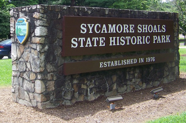
Sycamore Shoals, TN (2)crpdbSycamore Shoals, TN (4)Sycamore Shoals, TN (7)bSycamore Shoals, TN (8)Sycamore Shoals, TN (9)Sycamore Shoals, TN (10)Sycamore Shoals, TN (11)Sycamore Shoals, TN (12)

The second connection: Following the Revolution we find our direct ancestor, Rhodham Luttrell, and several extended family members, living along the Wilderness Road in counties on the Virginia side of the Cumberland Gap. Years later we find Rhodham and several cousins and a brother have crossed the gap into Kentucky, traveling the Wilderness Road north before heading west into southcentral Kentucky.

For more on Rhodham, Thomas and John Luttrell click here.

NEXT ROAD TRIP STOP

Saturday, June 24, 2017

Day 9: Smoky Mountains (part 2 Clingsman Dome)

Screenshot_20170716-153222


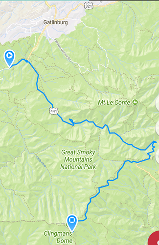
The ultimate goal for the day was to go to the top of Clingsman Dome in the Smoky Mountains. While the Dome is less than 20 miles from the ranger station (park entrance) ‘as the crow flies’, it is all winding vertical roads with many possible stops like Laurel Falls along the way. It was evening by the time I got to and walked the last half mile to the top of the dome.


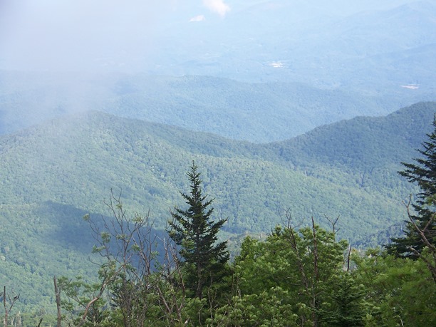
This is the view from the parking lot beneath the observation tower which is is a steep half mile walk away.
Clingmans Dome (2)Clingmans Dome (6)

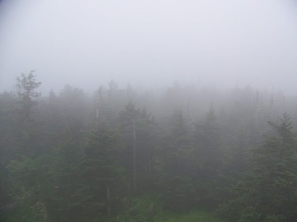
The observation tower offers a 360 degree view. Notice how clear the view is in the first picture from the base of the tower. In the time it took to climb the ramp a cloud had moved across the mountain top limiting visibility in the second picture, taken from the tower.

Clingmans Dome (16)Clingmans Dome (18)

Due to the late hour and uncertainty of the cloud cover these were the only pictures from the tower.
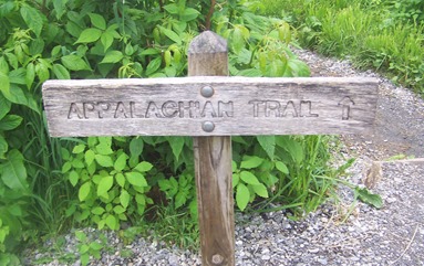
Clingmans Dome (20)One of my early Bucket List items was to hike & camp the Appalachian Trail from Georgia to Maine, but a hip replacement a few years ago has put the kibosh on that list item. However, the trail actually crosses Clingsman Dome on the path from the parking lot to the observation tower, so I can at least say I crossed the Appalachian Trail.

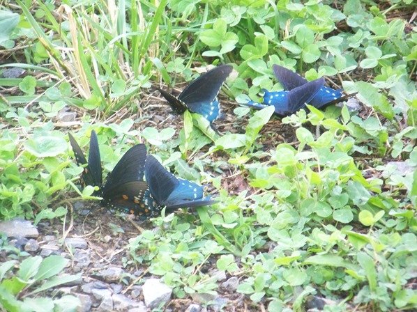
Smokies (46)Smokies (51)Smokies (55)Smokies (67)Smokies (77)Smokies (88)Smokies (89)Smokies (91)Smokies (92)

 As I was talking with some other tourist in the parking lot I discovered that I had been given incorrect information. I had been told that Clingsman Dome was the tallest peak east of the Mississippi River, it is not, it is the 3rd highest peak. I found this out after purchasing the t-shirt and hiking that extreme half-mile walk to the observation tower.

It was still worth it though.

As it turns out the highest peak east of the Mississippi River is Mount Mitchell in North Carolina, about a hundred miles away. Looks like a change in plans for tomorrow are in order.

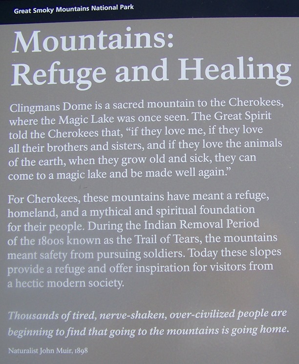
Clingmans Dome (10)CRPDClingmans Dome (11)crpd

Next Stop On The Road Trip


Day 9: Smoky Mountains (part 1 Laurel Falls)

As usual, I hit the road a little late for my visit to the Smoky Mountains. The drive from Ragland Bottom Campground outside of Sparta was just the beginning of the days driving. From one point to the next in the Smoky Mountains involves a lot of driving, mostly vertical. Establishing a basecamp for the two day visit to the area proved to be a good move. All that up and down driving with a full trailer would have been rough on my little HHR/Chevy.Screenshot_20170716-153623
image_thumb1

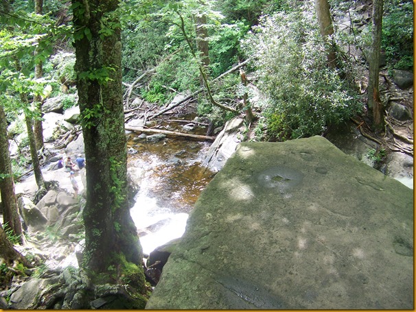
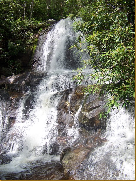
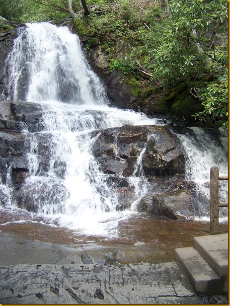
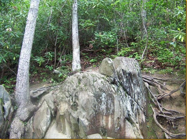
First stop was at Laurel Falls:  The 1.3 mile hike is not a steep one, but it is consistently uphill. Don’t worry, everyone coming back down the path will remind you that it worth it. Be careful, and control your kids. The drop-offs are straight down. There are no guard rails.
Laurel Falls (1)Laurel Falls (6)Laurel Falls (7)Laurel Falls (11)Laurel Falls (13)Laurel Falls (14)Laurel Falls (15)Laurel Falls (16)Laurel Falls (17)Laurel Falls (20)Laurel Falls (21)Laurel Falls (22)Laurel Falls (24)Laurel Falls (28)Laurel Falls (29)

Next Road Trip Stop